Oxbow, Inc.
Protecting and Preserving Wetlands
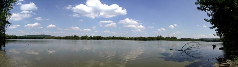
Here is a map of the Osprey Lake Trail, which has a short and a long loop. The links below are to QR Codes that are along the trail and provide information about the land, water and inhabitants of the area.
1 | |
2 | |
3 | Shallow and Deep Ends |
4 | Contoured Perimeter |
5 | Levee |
6 | Bike/Walk Path |
7 | Flooding - Water Levels |
8 | Burning |
9 | Invasive Plants |
10 | Osprey Platforms (2 signs) |
11 | |
12 | Mammals |
13 | Reptiles |
14 | Amphibians |
15 | Birds |
16 | Prairie Area |
17 | Archaeology |
18 | Land Trusts |
19 | Revolution |
20 | |
21 | Entrance Signs (4 signs) |