Oxbow, Inc.
Protecting and Preserving Wetlands
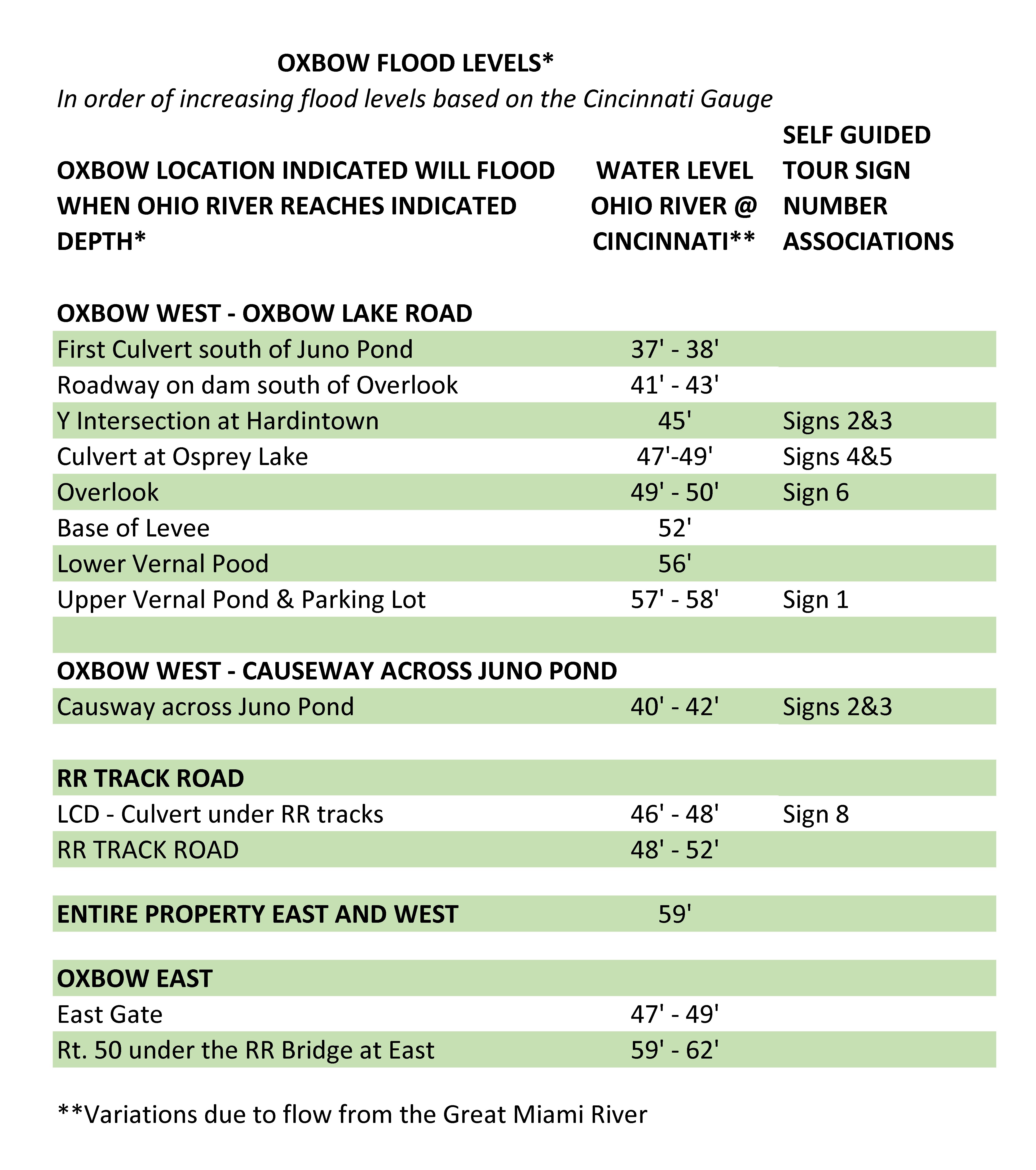
Flooding in the Oxbow
We always ask our visitors to remember that the Oxbow is a floodplain, and with that comes the risk of flooding. Water can come in at 2 feet an hour or faster. Please be aware of your surroundings when you visit us. The chart below is our best estimate for water levels and not a certainty. This link is of a video(s) of actual floodwater entering the Oxbow - there is a great deal of background noise from the wind and water moving through the Oxbow.
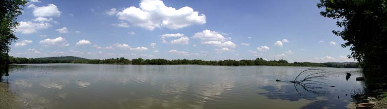
March 25, 2023 Flooding in Oxbow West
Where can you find water level information:
Ohio River @ Cincinnati
https://water.weather.gov/ahps2/hydrograph.php?gage=ccno1&wfo=iln
GMR @ Miamitown
https://water.weather.gov/ahps2/hydrograph.php?gage=miao1&wfo=iln
Tanners Creek @ Lawrenceburg
https://waterdata.usgs.gov/monitoring-location/03276650/#parameterCode=00065&period=P7D